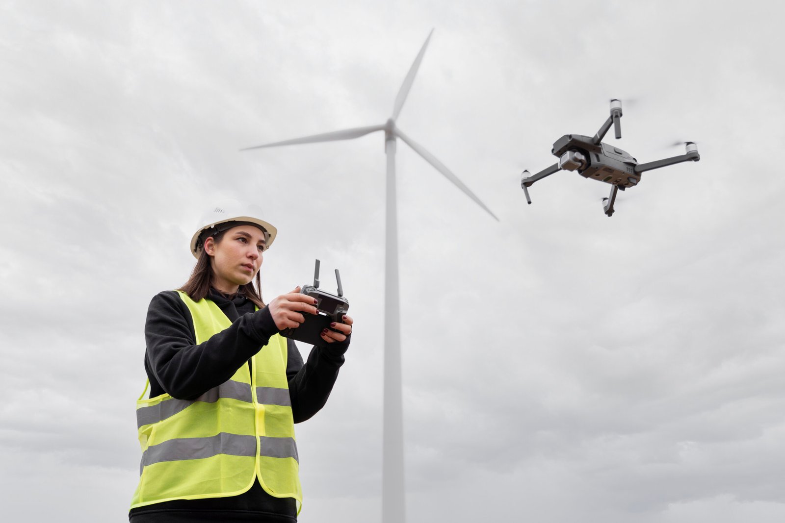


Why Choose Us for Your Drone Mapping Needs?
Choose ISKY Drone Services for professional drone mapping services built on precision, reliability, and advanced technology. Our experienced team and structured UAV operations ensure accurate data and efficient project execution.We understand how critical accurate mapping is for planning and development. That’s why we deliver professional results designed to support confident decision-making and long-term project success.
Reliable drone mapping services for construction, agriculture, and infrastructure projects.
High-precision drone 3d mapping services with orthomosaic and topographic outputs.
Advanced commercial drone mapping services tailored to your project scope.
Scalable solutions with transparent drone mapping services and cost options.
Dedicated technical team managing UAV flight and data processing.
Fast turnaround with dependable, reliable drone mapping services performance.